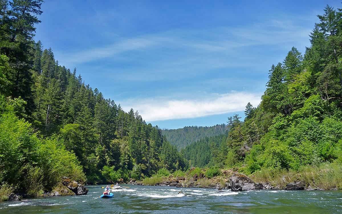
The Rogue Canyon ranks as one of the top 10 whitewater locations in the U.S., attracting rafters and kayakers from around the world.
The Rogue River roams 215 miles across southwestern Oregon from its headwaters at Boundary Springs, just inside Crater Lake National Park, to where it spills into the Pacific near the town of Gold Beach. Along the way, the river traverses diverse landscape including pumice flats, pine forests, deep gorges, farmlands, and orchards. Wildlife seen along the river can include black bear, river otters, bald eagles, ospreys, great blue herons, and water ouzels.
Almost 82 miles of the river have been designated Wild and Scenic, in two sections: part of the Upper Rogue (through the Rogue River National Forest), from the headwaters south to near the town of Prospect, and the Rogue Canyon section of the Lower Rogue, from near the town of Galice west to near Agness. The Upper Rogue scenic waterway, high in the Cascades, traverses the volcanic landscape created by the eruption of Mount Mazama, including nearly vertical incised pumice canyons and a lava tube arching across the entire river at Natural Bridge. The Lower Rogue canyon is a landscape of near-vertical cliffs and razor-sharp ridges.
The Rogue-Umpqua Scenic Byway along the upper river provides access to endless camping and hiking possibilities in the Rogue and Umpqua national forests and wilderness, including the Upper Rogue River National Recreation Trail. The trail is also exceptional through the Wild Rogue River Canyon Wilderness, connecting to segments such as the Hellgate Overlook and Rainey Falls Trail, which give hikers views of these extraordinary class IV and V rapids from the safety of land.
Go-Oregon.com


